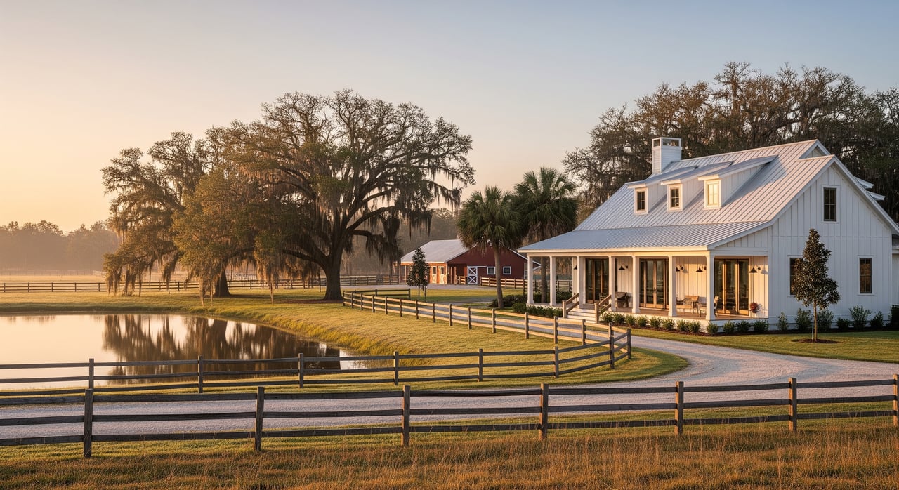
Buying ranch land in Florida is exciting, but the best deals are built on careful due diligence. Maybe you want a quiet retreat, a working cattle operation, or a long-term legacy property. Either way, you want confidence before you write an offer. This guide gives you a clear, step-by-step process to evaluate any Florida ranch parcel with the right maps, tests, and local checks. Let’s dive in.
Start online: screen the parcel
Confirm parcel IDs and records
Before a site visit, collect the parcel ID (APN), legal description, and any seller documents like surveys, title commitments, and aerials. Use the county property appraiser or GIS to verify recorded deeds, assessments, and easements. Many counties also explain agricultural classification and filing deadlines. As an example, review a county’s guidance on ag classification and FAQs on a property appraiser site such as the Lake County Property Appraiser.
Map flood risk beyond the map
Pull the parcel into FEMA’s Flood Map Service Center to check flood zones and Base Flood Elevation. This is the official source lenders use for insurance requirements. Start with the FEMA flood maps, then ask the county floodplain office about local ponding or drainage issues that maps may miss. News and FEMA alike urge buyers to add local knowledge when assessing risk, as noted in this overview of flood risk beyond maps.
Check soils with NRCS Web Soil Survey
Soils drive everything from pasture productivity to building feasibility and septic siting. Use the USDA NRCS Web Soil Survey to view soil series, drainage class, hydrologic groups, and whether soils are organic or hydric. Flag areas mapped as muck or poorly drained for closer review.
Map wetlands and surface waters
Screen the parcel with the U.S. Fish and Wildlife Service’s wetlands data and local GIS. If maps show wetlands or marsh, expect permitting limits and a likely need for a professional delineation. A county GIS page such as the Citrus County GIS download portal is a good example of local data access.
Water supply and well records
If the parcel will use a private well, ask for well logs, pump-flow results, and recent water-quality tests. The Florida Department of Health explains recommended testing and certified labs on its private well testing page.
Verify access and title items
Legal vs. physical access
Walk the gate and road, but also verify the legal side in writing. Confirm frontage, recorded access or easements, and who maintains any private road. Ask the title company for a commitment and exception schedule so you can see recorded easements, restrictions, and mineral reservations. For context on why title work matters, see this overview of title insurance and closing issues.
Understand soils and drainage on site
Organic soils and muck
Florida’s organic soils, often called muck or peat, can be productive for forage but pose challenges for heavy structures, roads, and septic systems. They can also subside when drained. Review UF/IFAS guidance on Histosols of South Florida, then plan targeted borings or a geotechnical consult if you intend to build barns, homes, or heavy infrastructure.
Evaluate pasture quality and forage
Not all pasture is equal. Species like bahiagrass are common and reliable across much of Florida, while bermudagrass, limpograss, pangola, and perennial peanut are regional. Species and management drive stocking rates and hay yield. UF/IFAS provides solid guidance on bahiagrass and pasture management. On site, check sward density, weed pressure, paddock layout, cross-fencing, and water points. Note any invasive species issues, such as torpedograss in wet pastures, and ask for recent forage or hay tests if available.
Water, septic, and permits
Wells and water-use permitting
Ask for well logs, casing depth, a pump test in gallons per minute, and a recent water-quality panel. Florida DOH recommends annual bacteria and nitrate testing for private wells, with guidance on testing and labs. If you plan irrigation or larger withdrawals, many uses require permits through the water management districts. Review UF/IFAS’s overview of Florida water-use permitting to understand thresholds and next steps.
Septic and onsite sewage
If there is no sewer service, you will work with the county health department on onsite sewage treatment and disposal systems. Siting standards depend on soil type and seasonal high water tables. Marginal soils may require engineered or mound systems. Start with the Florida DEP’s Onsite Sewage Program and request existing permits, inspection reports, and repair history.
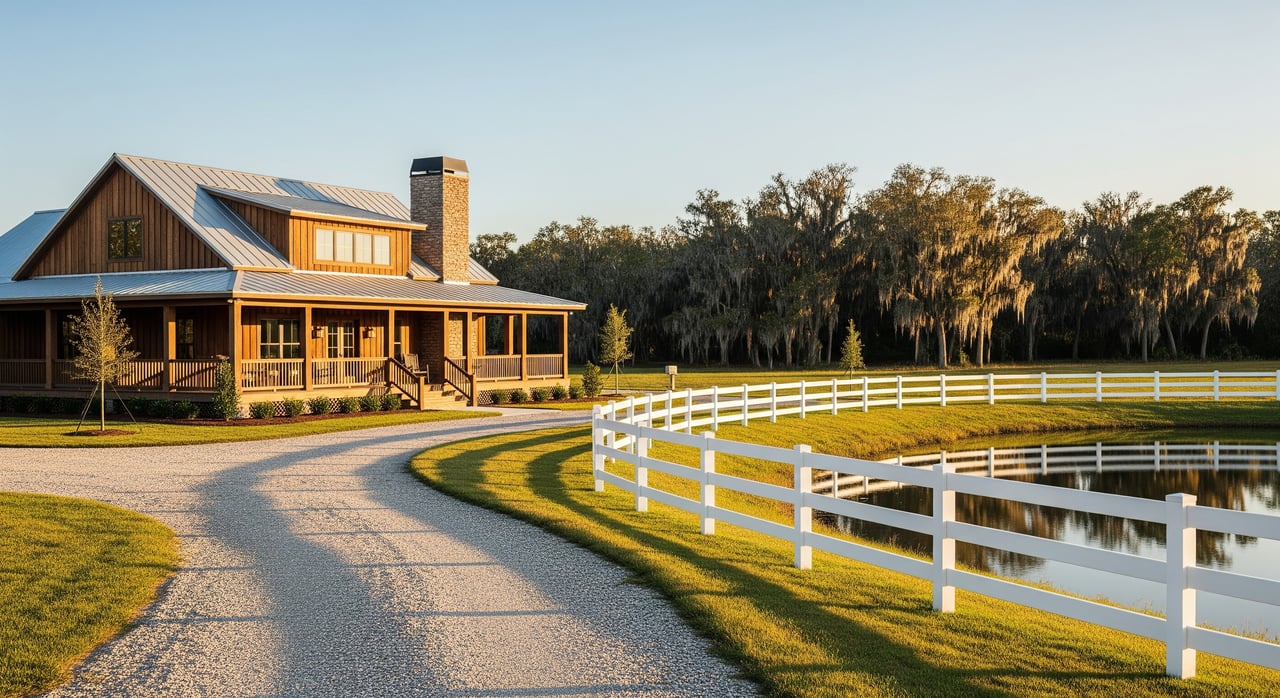
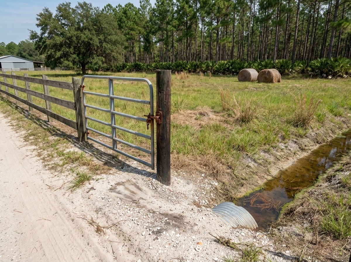
Fencing and ranch infrastructure
Inventory what you are buying. Ask for a map and list of improvements: perimeter and cross-fences, gate locations and widths, waterers and troughs, corrals and chutes, shade structures, and power availability. On site, check fence corners and lines for lean or rot, look for downed trees, and note where fences cross wet spots that accelerate failure. Condition often outweighs fence type when estimating near-term costs.
Land use, taxes, and encumbrances
Zoning and future land use
Confirm current zoning, the county’s future land-use map, and any pending applications nearby. Uses like sand or limestone mining, solar, or large subdivisions can change the area’s context over time. Call county planning staff and review their GIS layers for insight.
Agricultural classification and taxes
Florida’s agricultural classification, often called greenbelt, can lower assessed value for ad valorem taxes when land is in bona fide agricultural use. Check if the property currently has the classification, whether your intended use will continue it, and county filing deadlines. Review the statute at Florida Statute 193.461 and your county property appraiser’s guidance.
Conservation easements and recorded limits
Ask the title company to flag any recorded conservation easements or restoration contracts. These instruments can limit subdivision, new roads, or certain agricultural practices. Review all documents with your attorney before you commit.
Order your due diligence
- Request the essentials
- Parcel ID, legal description, survey, title commitment with exceptions, seller disclosures, and recent photos or aerials.
- Run your public screens
- FEMA flood zones using the FEMA Flood Map Service Center.
- Soils and drainage using the NRCS Web Soil Survey.
- Wetlands using USFWS data and a county GIS, for example the Citrus County GIS portal.
- Property appraiser or recorder for taxes, ag classification notes, and recorded easements. An example reference is the Lake County Property Appraiser FAQ.
- If it passes, schedule site work
- Boundary survey with easements shown.
- Well pump test and water-quality panel per Florida DOH guidance.
- Septic site evaluation via your county health department with standards from Florida DEP OSTDS.
- Soil borings or a geotechnical review for building areas informed by the NRCS soils report.
- Wetland delineation if screens show likely wetlands.
- Confirm water-use plans
- If you need irrigation, review permit thresholds with your water management district and UF/IFAS’s handbook on water regulation.
Score and compare parcels
Use a simple scoring matrix to compare listings apples to apples. Rate each factor 1 to 5, then apply a weight by your goal. Higher totals win.
| Factor | Livestock-first weight | Build-first weight |
|---|---|---|
| Legal access | 15% | 15% |
| Soils/buildability | 15% | 25% |
| Pasture condition | 25% | 10% |
| Water yield & quality | 15% | 10% |
| Septic feasibility | 10% | 15% |
| Flood/wetland exposure | 10% | 15% |
| Regulatory encumbrances | 10% | 10% |
- Tip: If any single critical item fails, like no deeded access or no workable septic site, treat it as a stop sign, not just a low score.
What to request from the listing agent
- Parcel ID, survey, and title commitment with exception schedule.
- Seller disclosures and a written inventory of improvements.
- Copies of well, septic, and any water-use or intake permits.
- Recent aerials and pasture management history.
- Any road or maintenance agreements and HOA or private road documents.
Work with a Florida land specialist
The right partner helps you move fast and avoid surprises. You want a team that understands soils, water, access, and ag operations, and that can package information for a clean closing. If you are exploring ranches across Florida, connect with a broker who leads with stewardship and technical rigor. When you are ready, reach out to Pioneer Land | Hunting | Ranches | Conservation to source options and shape a due diligence plan that fits your goals.
FAQs
What should I check first when evaluating a Florida ranch parcel?
- Start with parcel ID and title exceptions, then screen flood risk with FEMA maps, soils with the NRCS Web Soil Survey, wetlands with county or USFWS layers, and taxes/easements via the property appraiser and recorder.
How do FEMA flood zones affect buying ranch land in Florida?
- FEMA zones drive lender insurance requirements; use the FEMA Flood Map Service Center to see official zones, then ask the county floodplain office about local ponding or drainage not captured on the maps.
Why do Florida muck soils matter for building on ranch property?
- Organic soils can subside and often need specialized engineering for foundations and septic; review UF/IFAS guidance on Histosols and consider soil borings or a geotechnical report before planning heavy structures.
What water tests should I order for a private ranch well?
- Request a pump-flow test and a water-quality panel that includes bacteria and nitrate, following Florida DOH’s private well testing guidance and using certified labs.
How does Florida’s agricultural classification affect ranch property taxes?
- Parcels in bona fide agricultural use can qualify for reduced assessed value; confirm current status, whether your use will continue it, and filing deadlines under Florida Statute 193.461.